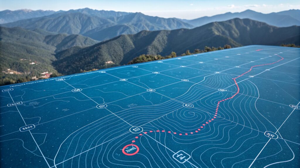
Geographical Information Systems and Photogrammetry
Two popular applications of an education in geography.

Two popular applications of an education in geography.

A report from the National Research Council Future identified that shortages in cartography, including Geographical Information Systems (GIS) and photogrammetry seem likely because the number of graduates is too small (tens to hundreds) to give NGA choices or means of meeting sudden demand.
Twenty years ago, a driver lost at night would pull his car over, take out a paper map bought at a gas station, and pore over its folds under a dim light. With luck and some critical thinking, he would eventually get where he was going. Today, he’d be more likely to swipe his finger across a smart phone screen and follow directions using Google Maps.
As maps have changed, so have mapmakers. No longer merely static images maps have become active interfaces for information exchange, continuously determining where we are in relation to distant satellites and suggesting where we ought to go. Today, the global geo-services industry collects, shares, and analyzes data on an unprecedented scale. It’s valued at as much as $270 billion per year and employs 500,000 people in the United States, according to a recent report from Google. The rapid transformation in the field has overturned traditional ideas of what a geographer does.
Geographers have traditionally studied how the natural environment contributes to human society and vice versa, whereas cartographers have focused more explicitly on the art and science of mapmaking. Over the past couple of decades, a new field has emerged: geographical information systems (GIS), blending the study and expression of geographic information. Cartography and geography have overlapped and spawned innumerable subspecialties and applications. Modern geographers and cartographers are involved in diverse project, such as tracking fleets of vehicles or products, helping customers locate a Dunkin’ Donuts or Starbucks, modeling environmental scenarios such as oil spills, studying the spread of disease, identifying areas of criminal activity for police services, and ecosystem mapping.
GIS is considered to represent the leading edge of computer mapping and visualization technology. GIS arranges data in multiple layers and enables us to assess reality in a spatial setting. GIS links data according to its relevance to a particular question to all other data of relevance to that particular place. It allows the user to map information to become the primary way to organize, access and distribute knowledge in the future. It is an interdisciplinary approach to understanding place and geographers are well suited to this approach.
In this sense it is a form of the ‘spatializing of knowledge’ (Thomas Fisher’s term, University of Minnesota) in that spatial understanding recognized place, rather than time, as the ultimate continuity in our lives. It allows us to imagine the future of places, products and the environment – it is a form of geodesign – which allows us to connect what we know about the world with what we might want the world to be. Fisher considers that just as GIS can serve as a means of organizing knowledge spatially, geodesign might serve as a means of projecting that knowledge into the future and assessing its merits based on what we know about a place.
GIS software developers – like the Environmental Systems Research Institute (ESRI) – have in the last 50 years created a set of tools to support geographic reasoning and in so doing GIS now embodies geographic reasoning to the extent that GIS is a great way to view ‘things geographic!’ The role of geography – according to Jack Dangermond (the creator of ESRI) – is as a platform for understanding the world. GIS is making geography come alive as it allows for the condensation of data, information and science into a language that can be easily understood – the language of maps.
The U.S. Bureau of labor statistics classify GIS and remote sensing as ‘new and emerging fields’. More and more companies and industries are using location based data and spatial analysis to support business operations as wide ranging as health care delivery, retail sales, environmental management, transportation planning, economic development, public utilities and services and more.
Volunteering and internships are a good way to break into the field as many companies employ from this angle.
Photogrammetry is the science of observing and measuring physical objects and phenomena from film, radar, sonar, or lidar and using multiple overlapping images to create mathematical 3D models of the terrain. Today’s GIS are based on data from photogrammetry.
Education and training. No programs in the United States offer a bachelor’s degree in photogrammetry, and only 15 universities offer photogrammetry classes to undergraduates, according to the NGA report. However, some 2-year professional programs that teach surveying or construction technology may provide hands-on training in using photogrammetric instruments. As with geodesy, a master’s or doctoral degree in photogrammetry provides much deeper knowledge of the mathematics behind photogrammetry, preparing students adapt to technological advances in sensing and combine information from new and multiple sources. Ohio State and Purdue University offer M.S. and Ph.D. programs in photogrammetry; the University of Florida offers a B.S, an M.S., and a Ph.D.
Additional resources. The American Society for Photogrammetry and Remote Sensing provides short courses at its meetings on relevant topics. Other organizations that promote skills related to geospatial careers include. Also ESRI provide thorough of the growing field of GIS. The King County GIS Center offers a tailored selection of learning opportunities, with Esri®-Authorized Courses, a growing catalog of custom GIS Training Express classes, and frequent free brown bag workshops. Learn hands-on from experienced and highly effective instructors in our convenient state-of-the-art Seattle training facility.